Geophysical data without touching the ground
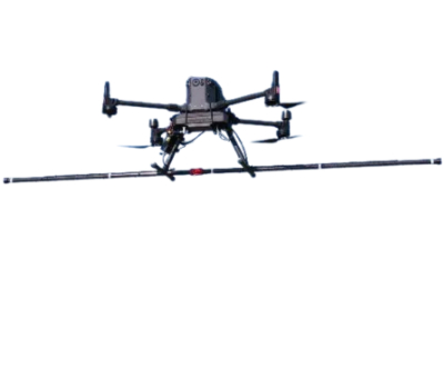
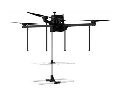
Our multirotor drones equipped with GPR or magnetometer sensors can detect and locate buried structures (pipes, UXO, cables, metal masses), even in the most challenging environments.
Our multirotor drones equipped with GPR or magnetometer sensors can detect and locate buried structures (pipes, UXO, cables, metal masses), even in the most challenging environments.
The drone effortlessly flies over areas that are inaccessible on foot, by cart or by vehicle, including slopes, forests, unstable areas and even water surfaces
Data collection with no impact on the area compared to traditional solutions (damage to fauna, flora and crops)
The sensors maintain a constant flight height for more accurate surveys and centimetre-level positioning thanks to the on-board RTK
Exploration of resource-rich sites, detection of deposits, analysis of cavities, geological structures and underground conduits
Geophysical surveys for locating caves, ruins, ancient structures, or natural anomalies. Ideal for excavations, ecological analysis, and historical surveys
Detection of buried metal objects, unexploded munitions (UXO) and other metal waste using GPR and magnetometer sensors, facilitating risk assessment and site security
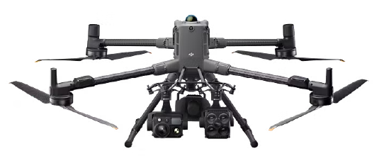
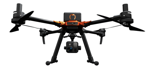
The multirotor drones offered by Innotech-drone ensure stable flights at very low altitudes, guaranteeing optimal operation of high-precision sensors.
Our solution is ideal for detection and exploration at depths of up to 15 metres, depending on the nature of the terrain and the frequency of the sensor.
Advanced programming
Compatible with flight planning software (e.g. UGCS) to automate missions with high precision
Integrated RTK for georeferenced surveys with centimetre accuracy
Sensor payload capacity up to 5kg
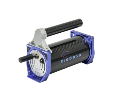
Ground Penetrating Radar
Detection of pipes, cavities, archeological and bathymetric applications. Investigation depth up to 15 m
VLF or optical
Mining exploration, mapping geological anomalies, locating buried metal objects
Metal detector
Search for UXO (unexploded munitions), metal debris and areas contaminated with ferrous materials
NaI or CZT
Detection of radioactive sources and mining mapping of elements such as uranium, potassium, or thorium
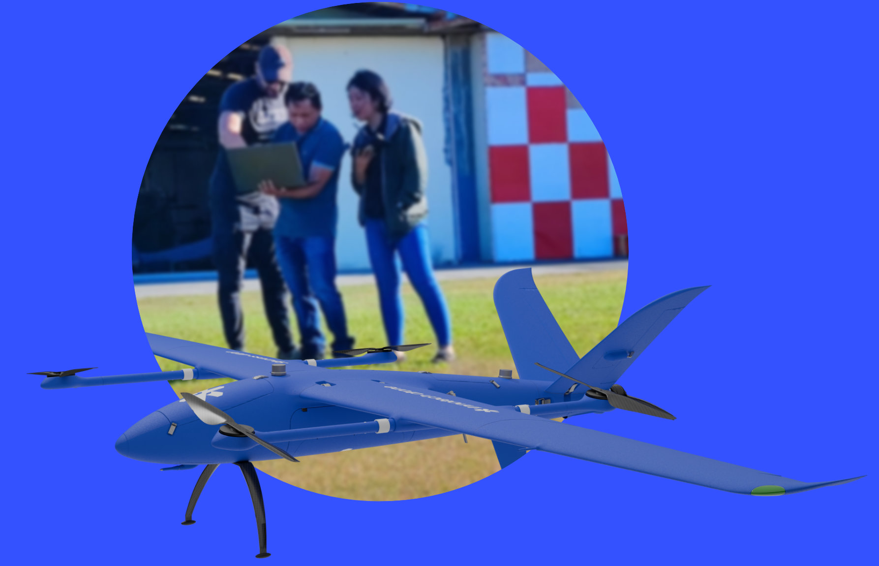
Innotech-drone trains you in the use of drones and their sensors, from commissioning to processing and standardising the data collected. We accompany you in the field to guide you during your first mission.

Before sending a team into the field, Innotech drone maps underground anomalies by drone. On an experimental military site, at the request of Thales, two technologies were deployed in a single day to deliver all localized targets: GPS coordinates, estimated depth and diameter, without a single deminer setting foot on site.

On the French Army’s experimental site, Innotech drone conducted an underground detection mission at the request of Thales and the PIAM teams. The objective: map all anomalies before any human intervention, with a sufficient confidence level to prioritize areas of action. Two platforms, two technologies, a single deployment.

The detection and localization phases are the most dangerous steps in the demining process. No human presence on site during these stages: teams only intervene once targets are confirmed, at known GPS positions. The drone flies 2m above the ground, producing a data density impossible to achieve on foot over large areas without exposing personnel.

The Sensys MagDrone R3 magnetometer (dual 3-axis fluxgate sensor) detects ferrous objects with a 50% reduction in flight time compared to a single sensor. The Zond Aero 500 MHz ground-penetrating radar operates independently of soil type down to 4 meters depth and captures what the magnetometer cannot see: non-magnetic objects. Together, both methods eliminate all blind spots. Each target is delivered with estimated depth and diameter, georeferenced and ready to use.

A manual excavation on a false alert mobilizes a specialized team, heavy equipment, and generates a non-zero residual risk. Prior mapping concentrates human resources on confirmed areas only. In a single day of drone operations, Innotech drone covers what a ground team would take weeks to survey: a direct reduction in reconnaissance costs and lead times before intervention.
© 2026 innotech-drone.com. All Rights Reserved.