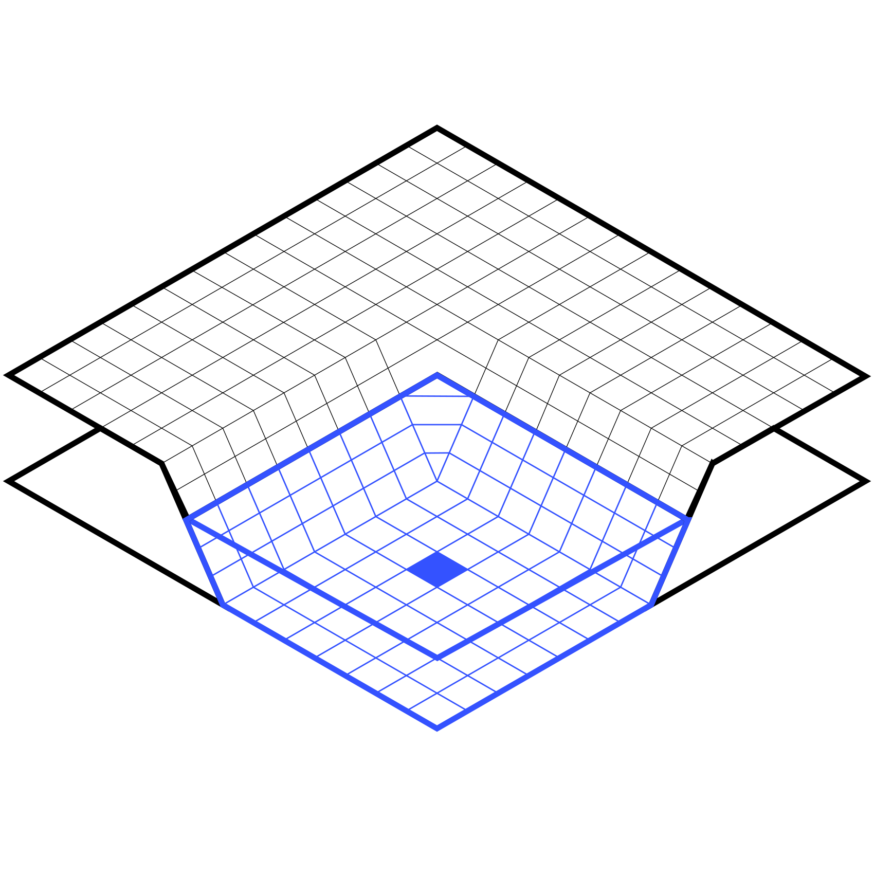
Automated aerial and aquatic bathymetry

Take measurements of depth, current and water quality using our aerial and aquatic drones, creating digital models of the underwater terrain without manual intervention on site.
Automated missions guarantee dense, comprehensive and accurate data, even in dangerous or hard-to-reach areas.
Contactless readings

LiDAR and echo sounder surveys possible in areas not navigable by aerial drone

Centimetric data

Built-in RTK for centimetre-level accuracy

Autonomous navigation

Automatic obstacle detection, unmanned remote-operated mission

They use it

Industrial sector

Measurement of reservoir volumes, monitoring of mining discharges, sediment control, inspection of hydraulic structures, monitoring of siltation, safety of flood zones

They use it

Transportation & navigation

Mapping and monitoring of waterways, inspection of port infrastructure, surveillance of coastal areas, management of nautical access and safety of facilities

They use it

Environment

Monitoring erosion, turbidity, water quality, ecological impact on aquatic environments, integration into GIS for water management and development

Need to monitor seabed autonomously?
Request a demo or let’s talk about your project.

    This site is protected by reCAPTCHA and the Google Privacy Policy and Terms of Service apply.

    I accept the privacy policy
    of Innotech-drone.com

    VTOL, multirotor or USV: suitable for all types of aquatic environments

    Four technologies: boats (USVs), submarines (ROVs), multirotors, and aircraft (VTOLs), to meet the needs of all your bathymetric projects.

    Multirotor drones

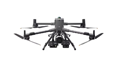
    Versatile multirotor models, designed for accurate surveys on small bodies of water or in areas that are difficult to access.

    Without coming into contact with the water, it allows point-by-point surveying even in the presence of algae, obstacles or strong currents (over 5 m/s).

      Compatible sensors

    Single or dual-frequency echo sounder, multibeam
    Magnetometry
    LiDAR

    Learn more

    Surface drones USV

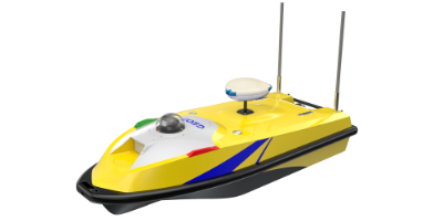
    USV aquatic drone models designed for precise measurements in navigable environments, combining autonomy and robustness for bathymetry and environmental monitoring.

      Compatible sensors

    Single or dual-frequency echo sounder, multibeam
    Acoustic imaging
    Magnetometry
    LiDAR

    Learn more

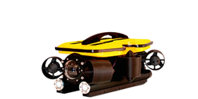
    Submersible ROV drones

    Underwater ROV drone models designed for precise measurements at depths of up to 400 metres, suitable for scientific research, inspection and underwater surveillance.

      Compatible sensors

    Hydrographic sensors
    Acoustic imaging
    LiDAR
    Cameras

    Learn more

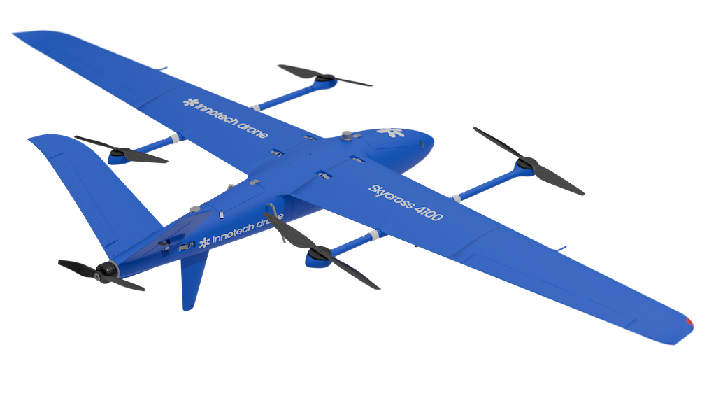
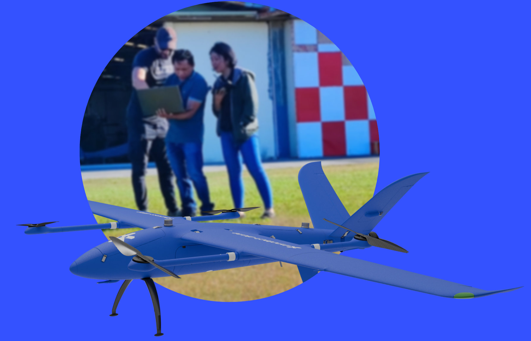
    Drone Skycross 4100

    VTOL model designed to quickly cover large areas, equipped with a LiDAR Navigator sensor enabling accurate scanning of riverbanks and simultaneous bathymetric surveys over large areas.

    Learn more

    Endurance
    up to 3 hours of flight time

    Vertical take-off
    and landing aircraft

    flexibility of use in confined areas

    LiDAR Navigator sensor
    Simultaneous terrestrial and hydrographic surveys

    Trained,
    supported,
    operational.

    Innotech-drone trains you in the use of drones and their sensors, from commissioning to processing and standardising the data collected. We accompany you in the field to guide you during your first mission.

      This site is protected by reCAPTCHA and the Google Privacy Policy and Terms of Service apply.

      I accept the privacy policy
      of Innotech-drone.com

      Assistance in selecting the drone and sensors best suited to your mission
      Comprehensive operational training: operator and analyst
      In-depth post-mission analysis
      Remote or on-site tech support
      USE CASE – BATHYMETRY

      Mud, currents, shallow zones.
      USV and sonar drone in tandem.
      100% coverage.
      0 operators in the water.

      CONTEXT

      Mining Industry & Environment.
      Madagascar, Rio Tinto QMM

      Les bassins de rétention miniers de Rio Tinto étaient impraticables pour toute embarcation classique : boues épaisses, zones peu profondes, courants, crocodiles. Innotech drone a déployé un bateau autonome et un drone multirotor à sonde immergée pour couvrir l’intégralité de la zone, depuis la berge, avec une précision centimétrique.

      PLATFORM
      USV100 · Multirotor drone + suspended echo sounder · RTK GPS · High-precision sonar
      Centimeter-level accuracy, water and sediment volumes calculated
      100% of the area covered
      0 operators in the water throughout the mission

      Operational Context

      As part of its operations in Madagascar, Rio Tinto needed to precisely map the bottom of vast retention basins to manage its dredging operations. Access was made impossible by surface conditions: thick mud, shallow depths, currents and the presence of crocodiles. No conventional method could cover the entire area. Innotech drone designed a tailored approach combining two complementary autonomous platforms, without a single operator leaving the bank.

      Team Safety

      Drowning, exposure to mining sediment contamination, current hazards: zero risk throughout the entire mission. Operators pilot from the bank with real-time visualization of the bathymetric profile. Local teams trained on-site conduct missions in full autonomy, with no external expert intervention.

      Operational Performance

      The USV100, equipped with RTK GPS, a precision echo sounder and ADS-B, covers large surface areas in continuous navigation. It measures river water flow to monitor the impact of mining activity pollution on downstream rivers. The multirotor drone with an immersed dual-frequency precision echo sounder takes over in muddy and shallow sectors beyond the vessel’s reach. It enables sediment measurement. The result: no area left unsurveyed, georeferenced XYZ files directly usable for volume calculation, with no additional processing.

      Economic Impact

      Under-dredging exposes Rio Tinto to environmental and regulatory risk. Over-dredging represents a direct operational cost overrun. The precision of the calculated volumes eliminates this margin of error and optimizes every dredging operation. Auditable data holds up under regulatory scrutiny, providing direct compliance value for a publicly listed group.

      Seabed mapped.
      Exact volumes.
      No operators in the water.
      Rio Tinto knows exactly what to dredge, where, and how much.

      Bathymetry

      Our partners

      Innotech Drone

      Geomatic

      Innotech Drone

      Surveillance

      Innotech Drone

      Transport