Innotech drone
Expertise across all terrains


Innotech drone designs and manufactures series-produced drone ranges for geomatics, surveillance, and transport.
Every platform leaves production in a standard configuration, then adapts to your mission through a catalogue of factory-validated options and sensors. As a manufacturer and training organisation, Innotech drone equips operators through its distribution network and trains your teams to full autonomy.

Series-produced platforms

Standardised ranges, built in series and field-proven, for controlled lead times and reliability

Configurable for every mission

A catalogue of factory-validated options and sensors, integrated to match your terrain and measurement needs

Training and support

We train your teams in the field, in your operating conditions. You then run your missions fully on your own

Innotech Drone

Geomatic

– Land mapping
– Bathymetry
– Geophysics

Learn more

Innotech Drone

Surveillance

– Security & emergency response
– Infrastructure & networks
– Environment & territories

Learn more

Innotech Drone

Transport

– Medical delivery
– Industrial & construction transport
– Maritime resupply

Learn more

Let’s discuss your project.
Our engineers will help you identify your needs.

    This site is protected by reCAPTCHA and the Google Privacy Policy and Terms of Service apply.

    I accept the privacy policy
    of Innotech-drone.com

    Innotech Drone

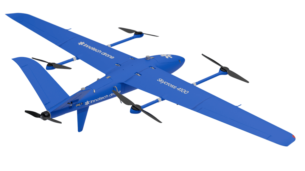
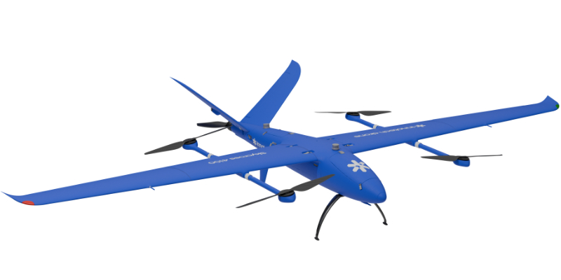
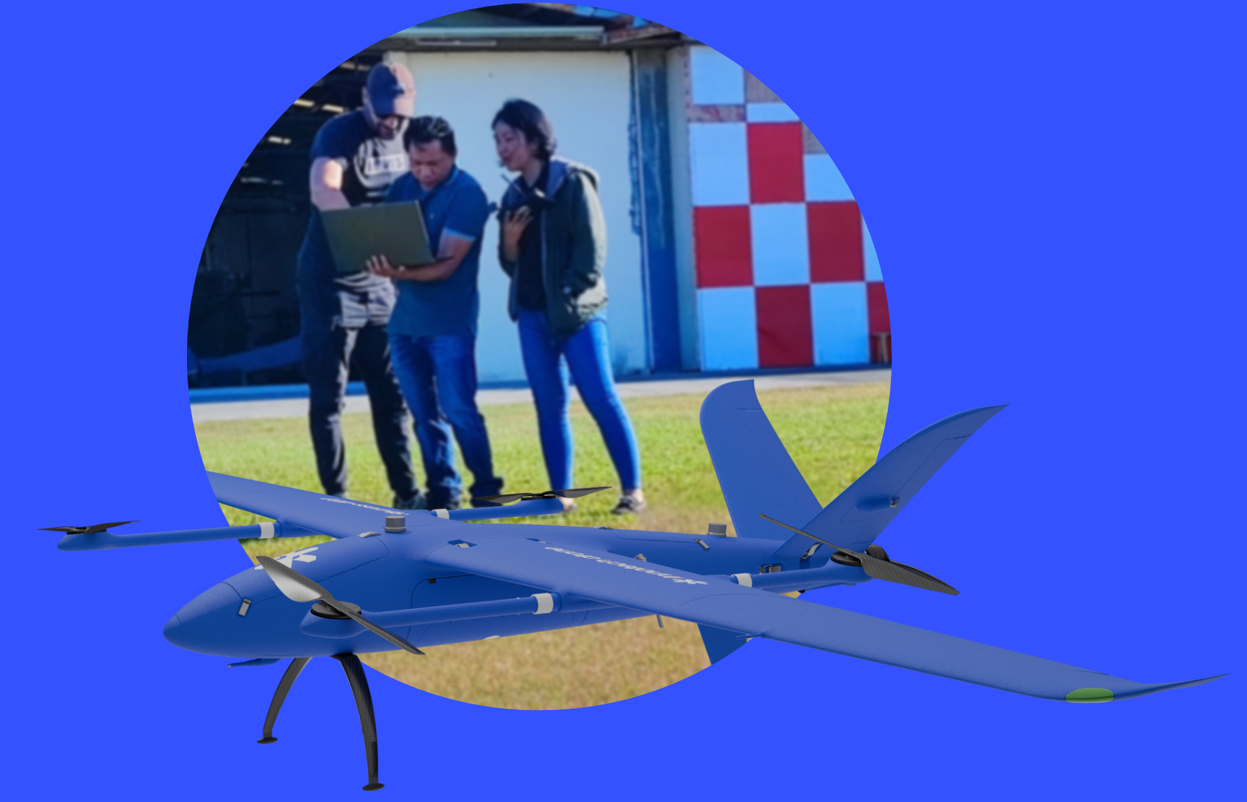
    Skycross VTOL Drones

    Cover vast areas quickly

    Discover the Skycross VTOL drone range, the perfect aircraft for geomatics applications, delivering precision and efficiency over large areas.

    Discover the Skycross VTOL range

    Long endurance
    Up to 3 hours of flight

    Vertical take-off and landing aircraft
    Flexibility in confined areas

    Integrated RTK/PPK
    Positioning accuracy up to 1 cm

    Multi-sensor integration
    Compatible with RGB, multispectral, thermal, and LiDAR cameras for maximum versatility

    Innotech drone
    Configurable by design

    Each range is built on a common series-produced base.
    Sensors and options are integrated through factory-validated configurations, for consistent quality and controlled lead times.

    Comprehensive support and on-site training ensure efficient operation from the very first deployment.

    Discover our technologies

    Trained,
    supported,
    operational.

    Innotech drone does not operate missions on your behalf: we train your teams in drone and sensor operation, from commissioning to data processing and standardisation. We support you in the field on your first mission, then you operate fully on your own.

      This site is protected by reCAPTCHA and the Google Privacy Policy and Terms of Service apply.

      I accept the privacy policy
      of Innotech-drone.com

      Guidance in selecting the right drone and sensors for your mission
      Full operational training: operator and analyst
      Training in post-mission data analysis
      Remote or on-site technical support
      Innotech drone

      Technology partners

      Innotech Drone

      Testimonials

      Argotek staff enhanced their skills through Skycross drone flight training provided by Innotech. Argotek conducted the Innotech Drone flight training programme from 5 to 9 February 2024. Over five days, participants had the opportunity to learn from Innotech trainers Olivier Lambert and Ali Merdji. The training concluded with an assessment, during which team members were tasked with demonstrating the skills they had acquired throughout the sessions..

      Argotek Positioning Solutions, Inc. (APSI)

      This mission enabled the RTK geolocation (X, Y, Z) of a 300 mm steel gas transmission pipeline over a distance of nearly 5,000 metres. The data are currently being processed and will be published shortly.
      Merci à INNOTECH DRONE pour ses compétences techniques et sa persévérence. Le #Landcross1200 permet aisément de travailler une journée complète avec des vols d'une heure. Cette mission démontre l'efficacité du GPR aéroporté pour les relevés à grande échelle ave contrainte d'accessibilité.
      Nous remercions High Vision GmbH et OGE pour leur confiance et leur accueil chaleureux.

      AMO Eu et Sanitation / Network detection and georeferencingArnaud LEBOT

      Two VTOL aircraft tested in the new Bossematié Nature Reserve in Côte d’Ivoire.
      As part of efforts to strengthen the protection of parks and reserves, the GEODATA SARL team, in partnership with INNOTECH DRONE, delivered two state-of-the-art VTOL drones to the OIPR. Preliminary tests of the drones were carried out in the Bossematié Nature Reserve (Abengourou) in the presence of OIPR officers.

      GEODATA SARL

      “Archaeological prospecting / MAG survey over the sea
      A look back at a great mission and a real winter challenge! We measured the total magnetic field across a 100 × 300 m coastal strip to complement the boat-based surveys, in areas where the bathymetry allowed. Flights were conducted at just 1.5 m above the water, both in calm conditions and with waves, thanks to specific True Terrain Following (TTF) settings via the Skyhub UgCS.
      Many thanks to Innotech Drone and the invaluable support from UgCS!
      Some promising MAG anomalies are already under review… more to come.

      Isabelle LE TELLIERFondatrice AIRD'ECO-drone

      AV Bathymetric Survey for Mining Sector
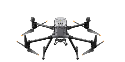
      The Innotech drone team recently completed UV bathymetric surveys in Madagascar using the dji M300RTK drone equipped with a dual-frequency echosounder. Their surveys, undertaken on behalf of their client Rio Tinto, targets mining basins with varying conditions, ranging from crystal clear water to high concentrations of particulate matter.
      Well done to the Innotech drone team!

      JB Unmanned Aerial Systems
      Innotech drone

      F.A.Q.

      What does Innotech drone do?

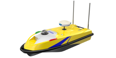
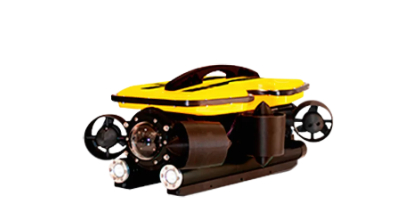
      Innotech drone is a French manufacturer of professional drones (SAS based in Teillé, Loire- Atlantique). We design and manufacture series-produced drone ranges: Skycross VTOL, multirotors, USV surface drones and ROV underwater drones; configurable through a catalogue of factory-validated options and sensors, for geomatics, surveillance and transport. We train operators’ teams and deliver our systems through a network of certified distributors.

      Do you sell drones or fly the missions?

      We are a manufacturer and training organisation, not a service provider: we deliver complete systems (drone + sensors + software), train your teams to full autonomy and support them on their first mission. Missions are then flown by your teams or by our distributors.

      How can a series-produced drone fit my mission?

      Every platform leaves production in a standard configuration, then adapts through a catalogue of factory-validated options and sensors: RGB, multispectral and thermal cameras, LiDAR, echo sounders, ground-penetrating radar, magnetometers. Customisation is an industrial configuration, not bespoke development: consistent quality and controlled lead times.

      Where are Innotech drones used?

      On every continent, by operators equipped and trained by Innotech drone: medical transport in Réunion Island, highway surveillance in Turkey, biodiversity protection in Côte d’Ivoire, mining bathymetry in Madagascar, LiDAR mapping in the Philippines.

      How can I buy an Innotech drone or become a distributor?

      Innotech drones are sold and supported by an international network of certified, factory-trained distributors. Contact us to be put in touch with the distributor for your area or to join the network.

      Innotech Drone

      Geomatic

      Innotech Drone

      Surveillance

      Innotech Drone

      Transport