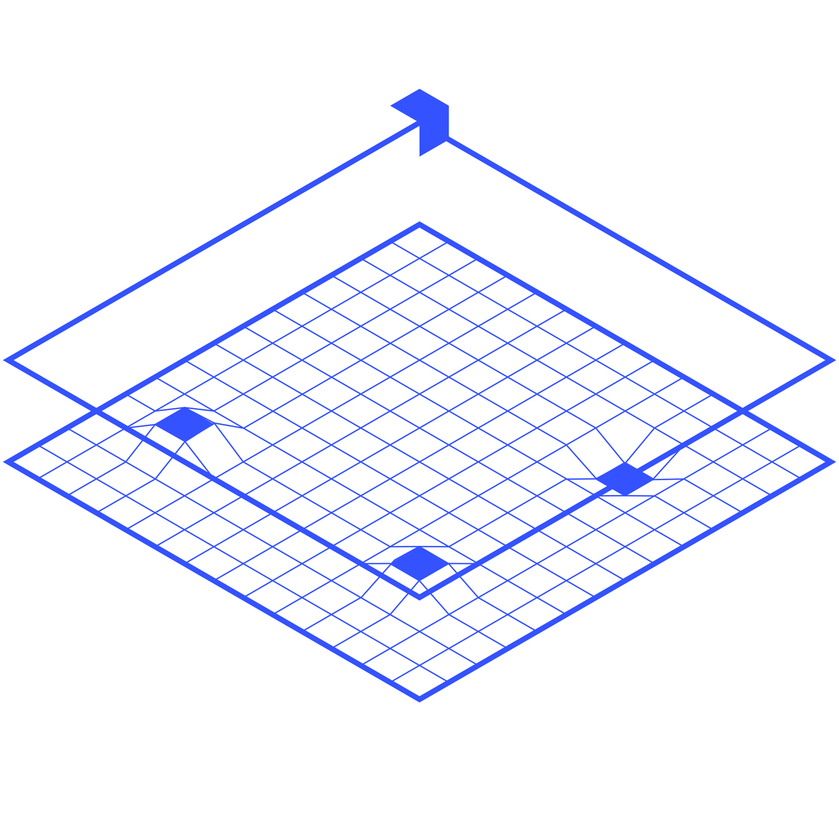
All-terrain topography

Our drone surveying solutions enable surface, underwater and underground measurements to be taken. From seabed analysis to the detection of archaeological structures, mine clearance and pollution clean-up, Innotech-drone designs solutions tailored to the constraints of your mission.
Precision

Detailed surveys across all types of terrain thanks to advanced sensors

Accessibility

Mapping even in the most hard-to-reach areas

Efficiency

Time savings and enhanced safety with autonomous, high-performance drones

Surface readings

Cartography

Topographical surveys and accurate plans, 3D terrain and surface models, asset and network management, natural risk analysis.

Learn more

Aquatic environment readings

Bathymetry

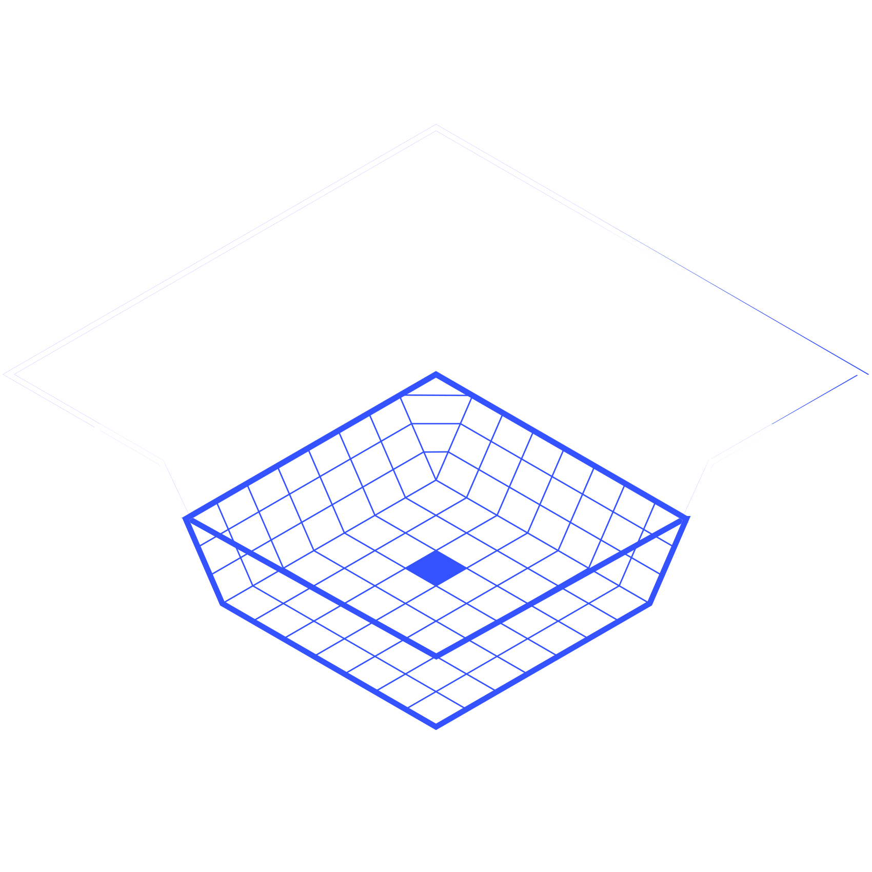
Mapping of seabeds, profiles of water bodies, measurement of sediments.
Monitoring water quality, flow rates and water volumes.
Support for port construction work.

Learn more

Underground readings

Geophysic

Detection of underground pipes and cables.
Prospecting and modelling of subsoils.
Archaeological exploration.

Learn more

Let’s talk about your project.
Our engineers will guide you in identifying your needs.

    This site is protected by reCAPTCHA and the Google Privacy Policy and Terms of Service apply.

    I accept the privacy policy
    of Innotech-drone.com

    A range of drones to cover all situations

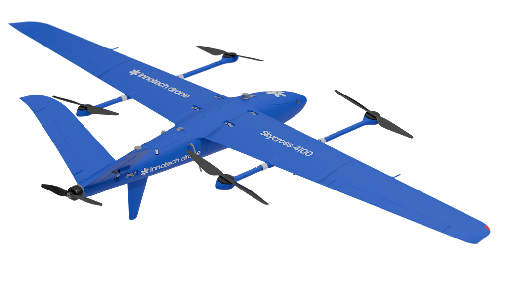
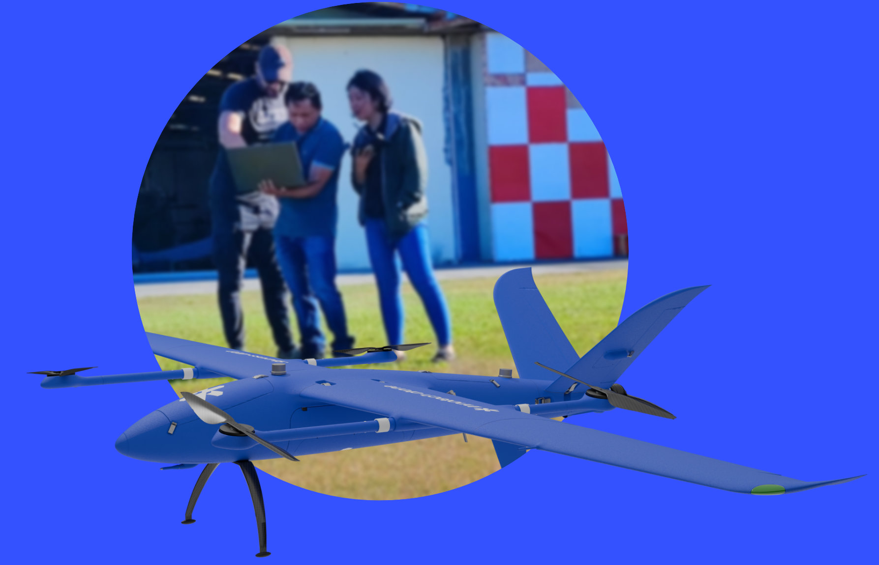
    Skycross VTOL series

    VTOL models designed to quickly cover large areas, ideal for geomatics applications requiring precision and efficiency over large areas.

    Learn more

    Long-lasting endurance
    up to 3 hours of flight time

    Vertical take-off and landing aircraft
    Flexibility in confined areas

    Integrated RTK/PPK
    Positioning accuracy up to 1 cm

    Multi-sensor integration
    Compatible with RGB, multispectral, thermal, and LiDAR cameras for maximum versatility

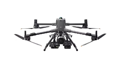
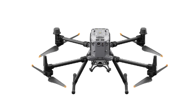
    Multirotors drones

    Versatile multirotor models, suitable for small to medium-scale surveys, perfectly complementary to VTOL solutions.

    More on the technology

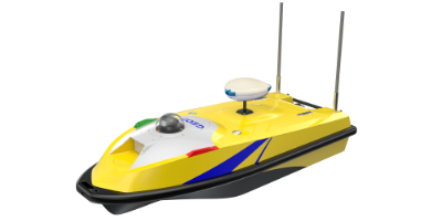
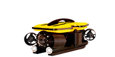
    Bathymetric drones

    Aquatic (USV) and underwater (ROV) drone models designed to perform accurate bathymetric measurements, from the surface to depths of up to 400 metres. They combine autonomy, robustness and operational safety to meet the demands of the most complex aquatic environments.

    More on the technology

    Trained,
    supported,
    operational.

    Innotech-drone trains you in the use of drones and their sensors, from commissioning to processing and standardising the data collected. We accompany you in the field to guide you during your first mission.

      This site is protected by reCAPTCHA and the Google Privacy Policy and Terms of Service apply.

      I accept the privacy policy
      of Innotech-drone.com

      Assistance in selecting the drone and sensors best suited to your mission
      Comprehensive operational training: operator and analyst
      In-depth post-mission analysis
      Remote or on-site tech support
      Geomatic

      Our partners

      Innotech drone

      F.A.Q.

      What is the difference between geomatics and mapping?

      Geomatics is the overall discipline of acquiring, processing and analysing geographic data. Mapping is one of the three areas we cover, along with bathymetry (underwater) and geophysics (underground).

      How accurate is an RTK/PPK drone?

      Our Skycross VTOL drones with GNSS RTK/PPK positioning achieve centimetre-level accuracy (around 1 cm in planimetry), without requiring a dense network of ground control points.

      Can a drone replace a surveyor?

      No: it makes the surveyor faster and safer. The drone multiplies daily coverage and removes exposure to dangerous areas, but the surveyor’s expertise remains essential for quality control and interpretation.

      What deliverables does a drone geomatics mission produce?

      Depending on the mission: orthophotos, DTM/DSM, LiDAR point clouds (LAS/LAZ), contour lines (DXF), 3D models, bathymetric charts and georeferenced geophysical anomaly maps; all GIS/CAD compatible.

      How can I buy an Innotech drone or become a distributor?

      Innotech drones are sold and supported by an international network of certified, factory-trained distributors. Contact us to be put in touch with the distributor for your area or to join the network.

      Innotech Drone

      Geomatic

      Innotech Drone

      Surveillance

      Innotech Drone

      Transport