A complete and modular technical range
Innotech Drone develops tailor-made drone solutions, integrating the best technologies to meet the most demanding field challenges.
Innotech Drone develops tailor-made drone solutions, integrating the best technologies to meet the most demanding field challenges.
A tool configured by our experts, adapted to field constraints
Solutions designed for all terrains and all types of measurements
State-of-the-art sensors deliver accurate results on every mission
VTOL (Vertical Take-Off and Landing) models designed to quickly cover vast areas, ideal for geomatics applications requiring precision and efficiency over large surfaces.
Long endurance
Up to 3 hours of flight
Vertical take-off and landing aircraft
Flexibility in confined areas
Integrated RTK/PPK
Positioning accuracy up to 1 cm
Multi-sensor integration
Compatible with RGB, multispectral, thermal, and LiDAR cameras for maximum versatility
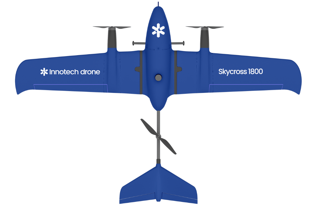
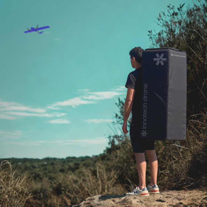
The Skycross 1800 combines the lightweight design of a field drone with the power of a professional-grade system.
With a 1.20 m wingspan, the Skycross 1800 maps wide areas even in constrained environments.
Easily transportable in its backpack, it takes off vertically (VTOL) and carries high-precision sensors for ultra-detailed surveys, wherever you are.
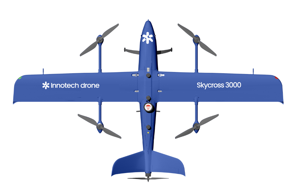
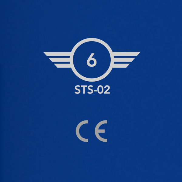
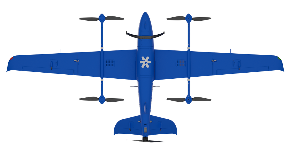
With a 2.99 m wingspan and robust design, this CE and C6 certified drone allows BVLOS flights under the STS-02 scenario. It includes an approved parachute and safety systems compliant with European standards, ensuring maximum reliability.
Equipped with advanced onboard intelligence, it executes complex autonomous missions and adapts to all types of sensors. A versatile platform designed for uncompromised performance.
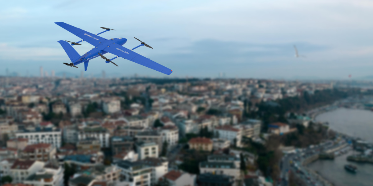
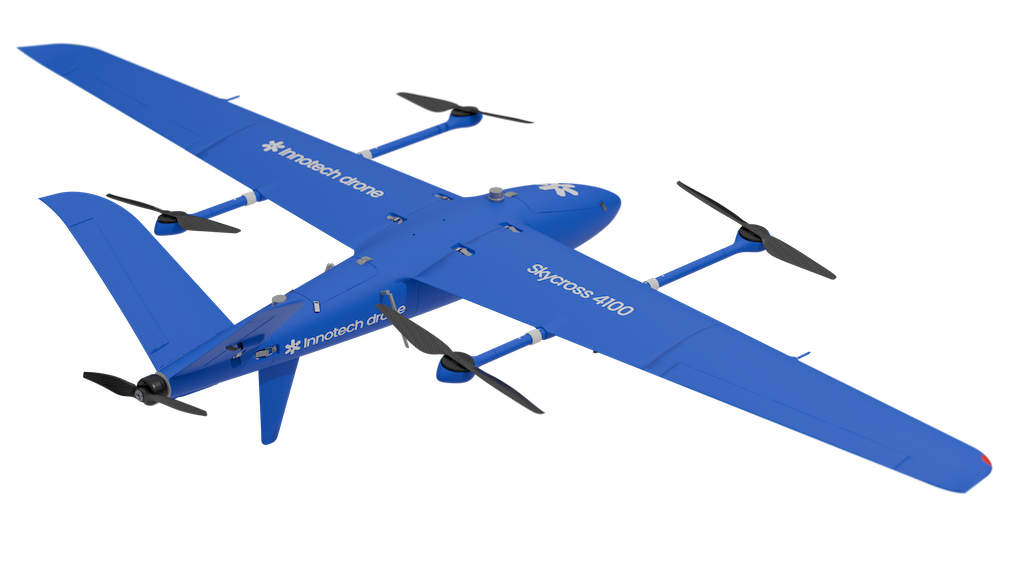
Combining robustness and high payload capacity, the Skycross 4100’s 4.10 m wingspan optimises flight stability for maximum precision even in complex environments. Its onboard intelligence enables advanced autonomous missions with extended endurance, ensuring wide-area coverage.
In a constantly evolving sector, Innotech Drone selects the best platforms on the market, equipped with advanced sensors, and subjects them to rigorous testing to ensure reliability, performance, and mission suitability.
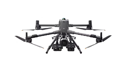
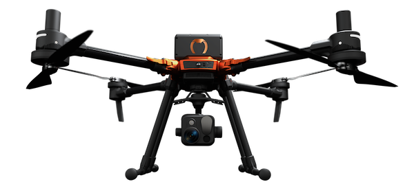
Versatile multirotor models for small- to medium-scale surveys, perfectly complementing VTOL solutions.
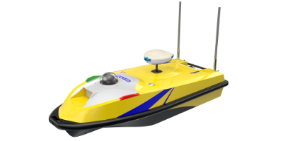
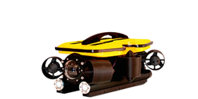
Aquatic (USV) and subaquatic (ROV) drones designed for precise bathymetric measurements, from the surface down to 400 m depth. Combining autonomy, robustness, and operational safety, they meet the requirements of the most complex aquatic environments.
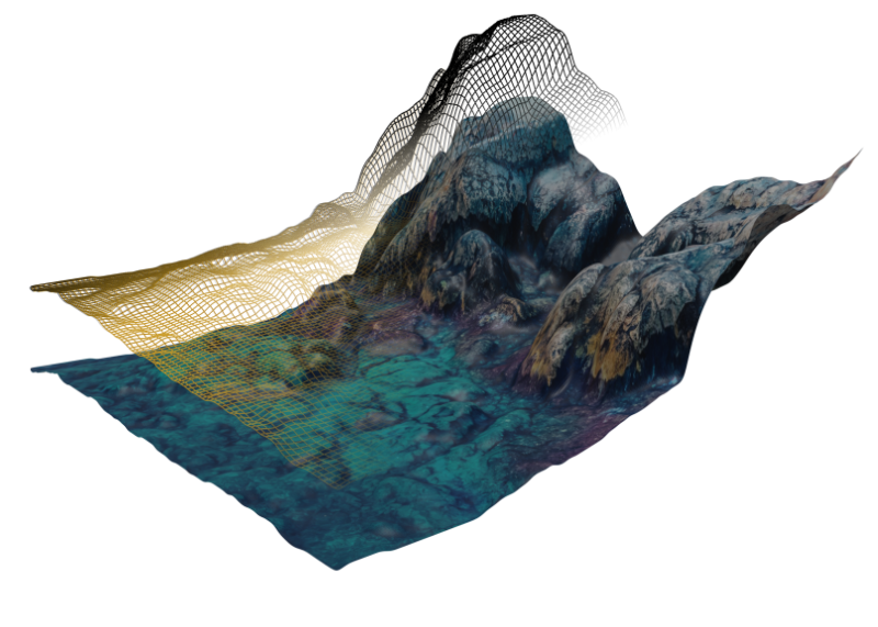
Modern drones enable precise geomatic surveys, regardless of terrain complexity. We integrate a wide range of sensors (LiDAR, thermal, multispectral, optical) to meet all operational needs: mapping, environmental monitoring, technical inspection, or precision agriculture.
Optimise your operations with a drone solution tailored to your technical requirements.
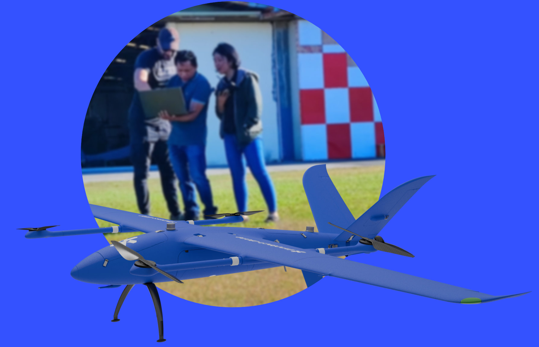
Innotech-drone trains you in the use of drones and their sensors, from commissioning to processing and standardising the data collected. We accompany you in the field to guide you during your first mission.
© 2026 innotech-drone.com. All Rights Reserved.