Configurable platforms for reliable and comprehensive readings

Our drone mapping solutions offer accurate, fast aerial topographic surveys suitable for all types of terrain.

Innotech-drone designs a customised configuration for you, based on your objectives, your environment and the constraints of your mission.

We integrate a wide range of sensors (RGB, multispectral, hyperspectral, LiDAR, …) from accessible equipment to the most high-end systems.

High-precision sensors

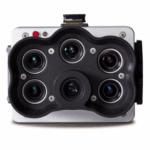
From 61 to 125 megapixels, our drones are equipped with the best photogrammetric sensors on the market

Customised configuration

A tool customised by our experts, adapted to the constraints of each terrain

Support and training included

Full support for the tool, on-site training in your operating conditions

They use it

Design offices & surveyors

Topographic surveys, orthophotos, DTM/DSM for development projects, civil engineering and infrastructure

They use it

Local authorities & developers

Mapping of urban or rural areas, monitoring of building developments, support for territorial planning

They use it

Natural area managers

Forest mapping, land use analysis, detection of environmental changes

Let’s discuss your mapping project
Need a quote or technical advice?
Our engineers are here to help

    This site is protected by reCAPTCHA and the Google Privacy Policy and Terms of Service apply.

    I accept the privacy policy
    of Innotech-drone.com

    Designed for efficient, large-scale cartography

    Our Skycross VTOL series are designed to quickly map large areas with precision and reliability, regardless of the environment.
    Each model can be customised with a wide range of sensors (RGB, multispectral, LiDAR, thermal, …) to suit your needs in the field.

    Skycross VTOL series

    VTOL models designed to quickly cover large areas, ideal for geomatics applications requiring precision and efficiency over large areas.

    Learn more

    Long-lasting endurance
    up to 3 hours of flight time

    Vertical take-off and landing aircraft
    flexibility of use in restricted areas

    Integrated RTK/PPK
    positioning accuracy up to 1 cm

    Multi-sensor integration
    compatible with RGB, multispectral, hyperspectral, thermal and LiDAR cameras for maximum versatility

    Skycross 1800

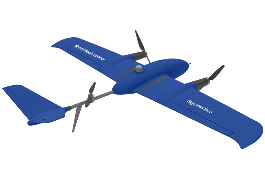
    Ultra-lightweight EPP model, ideal for cost-effective missions. Despite its low weight, it offers 2 hours of battery life and can carry a 61 MP Sony ILX-LR1 camera.
    An excellent compromise between performance and cost, perfect for high-resolution surveys.

    Learn more

    Skycross 3000

    Professional CE certified and class C6 composite drone with a robust design. Features embedded intelligence for complex autonomous missions.
    It is the ultimate versatile platform, suitable for all types of mapping and sensors.

    Learn more

    Skycross 4100

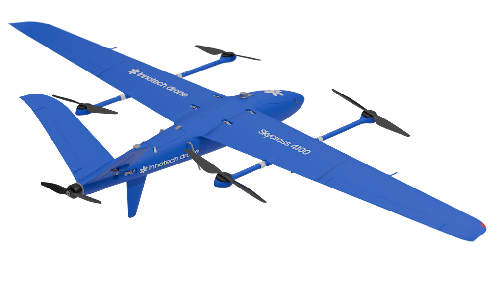
    Designed for heavy payloads, it can carry up to 8 kg of sensors (LiDAR, multi-cameras, specialised probes, etc.).
    The ideal choice for the most demanding missions in terms of payload, precision or combined sensors.

    Learn more
    Cartography

    A series of sensors for all applications

    Photogrammetric
    cameras

    High-resolution images for orthophotos, plans and accurate 3D models

    Oblique
    photogrammetric
    cameras

    Multi-angle view for detailed 3D modelling of buildings and urban environments

    Multispectral
    & hyperspectral
    cameras

    Detailed analysis of soils, crops, forests, or polluted areas using spectral data

    Light
    Detection and Ranging
    (LiDAR)

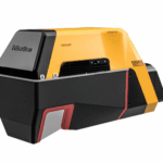
    Ultra-precise relief measurement, even under dense vegetation, for DTM and volumetric calculations

    Cartography

    A simple and smooth experience

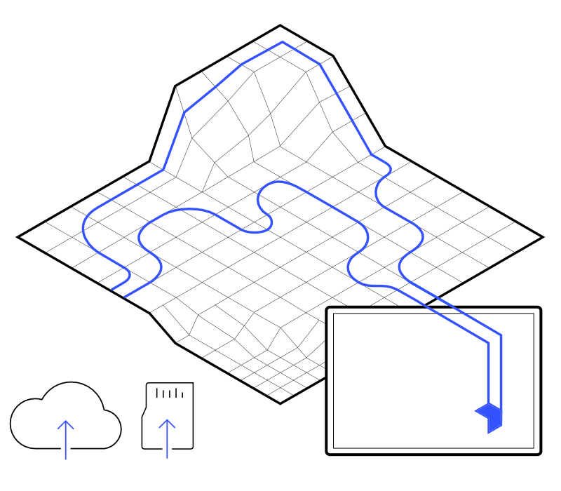
    01.Planning

    Draw your mission area directly in our flight software

    02.Acquisition

    The drone performs the mission autonomously and captures accurate data

    03.Transfer

    Retrieve images from an SD card or via our cloud solution

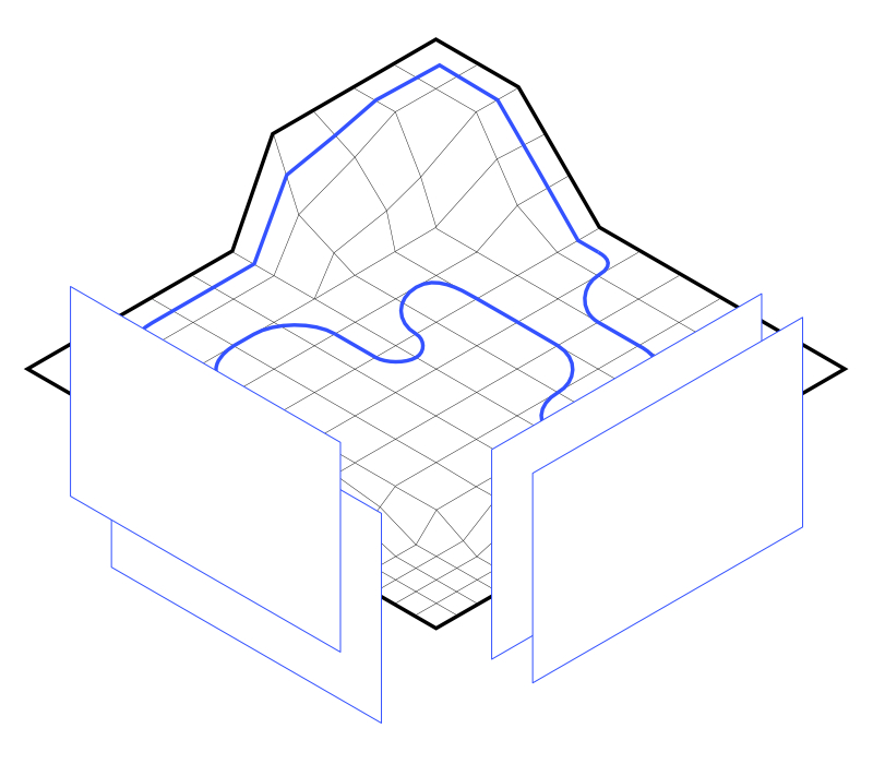
    04.Data processing

    Transform data into usable orthophotos, 3D models or contour lines

    Trained,
    supported,
    operational.

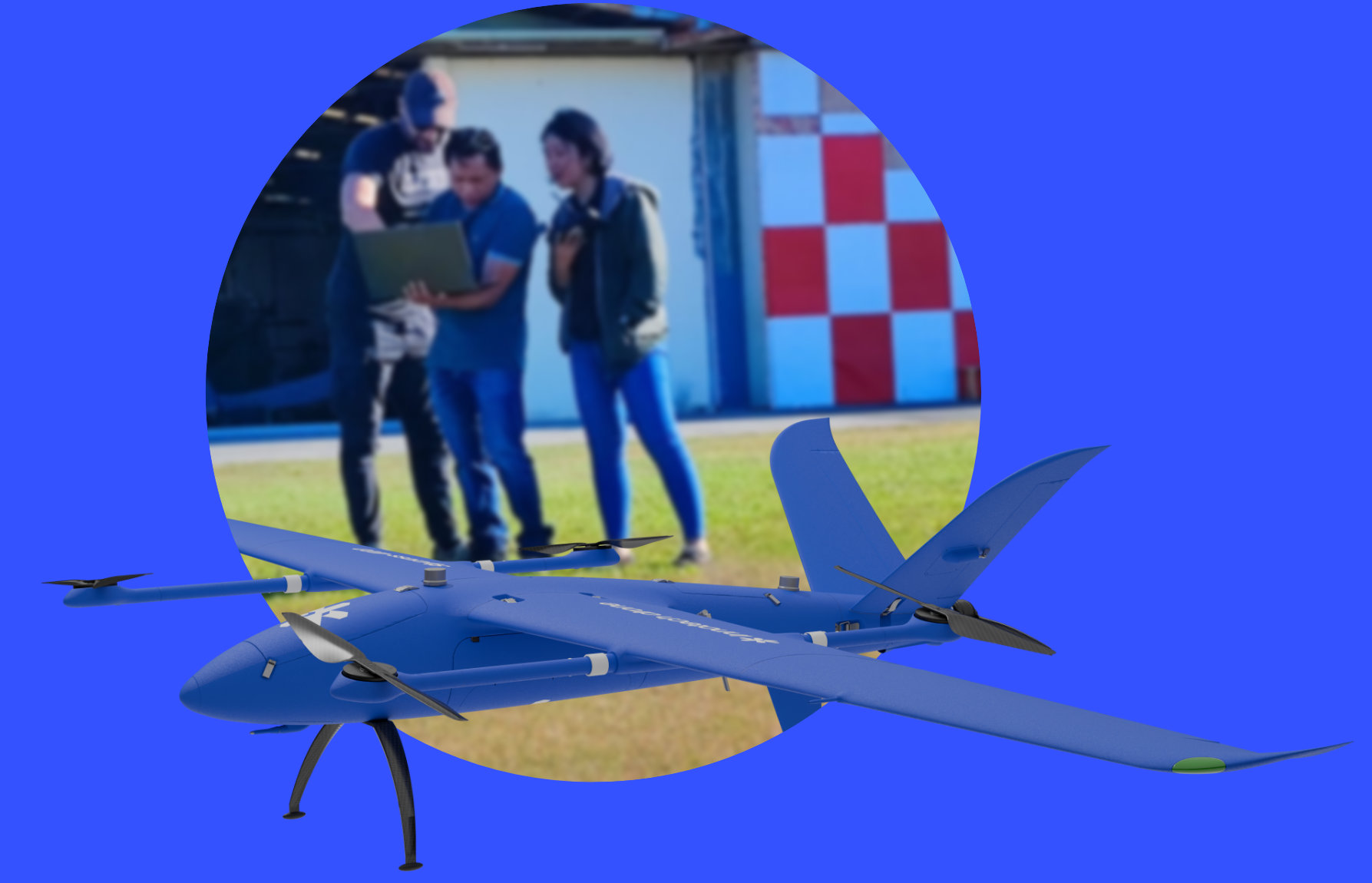
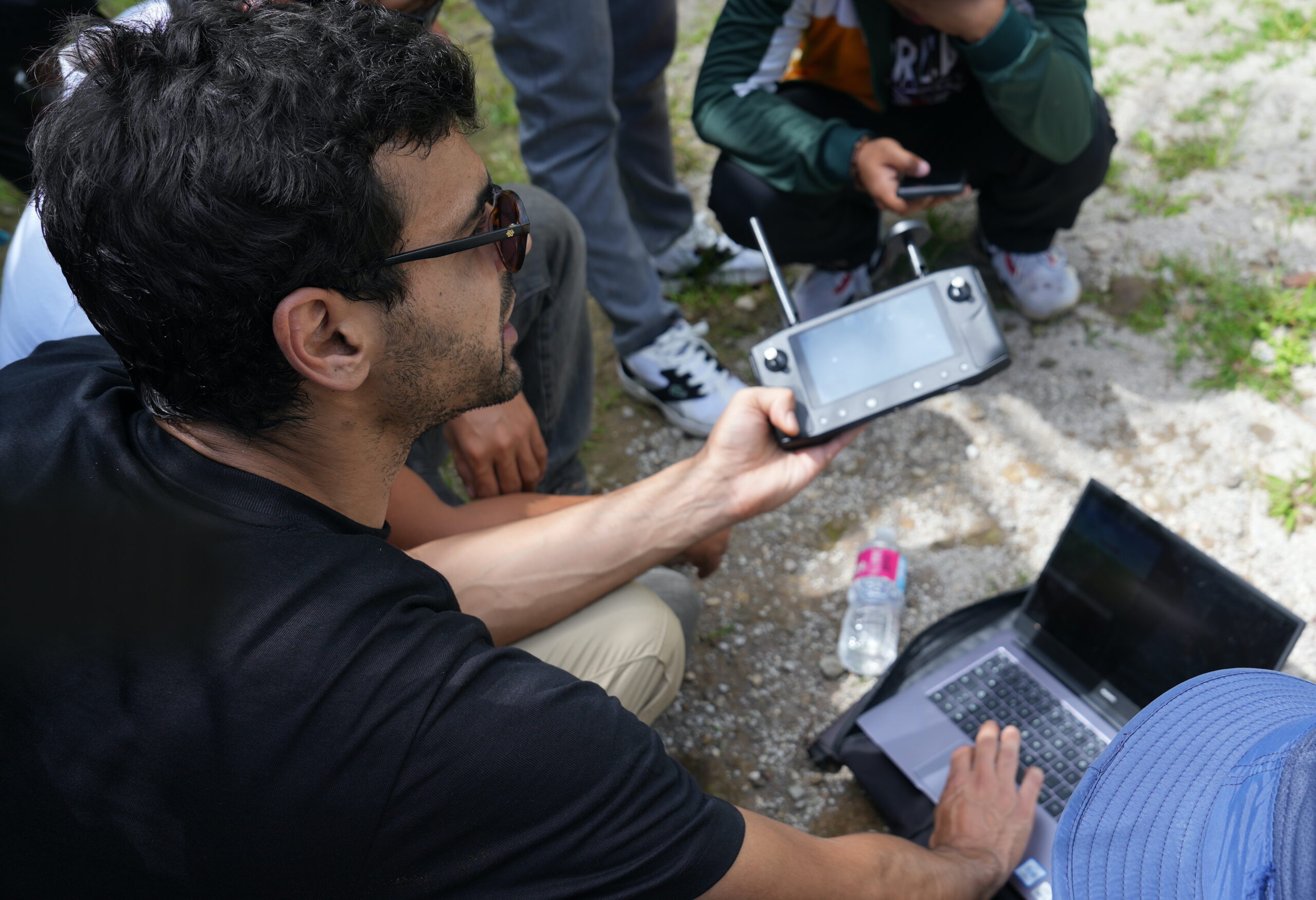
    Innotech-drone trains you in the use of drones and their sensors, from commissioning to processing and standardising the data collected. We accompany you in the field to guide you during your first mission.

      This site is protected by reCAPTCHA and the Google Privacy Policy and Terms of Service apply.

      I accept the privacy policy
      of Innotech-drone.com

      Assistance in selecting the drone and sensors best suited to your mission
      Comprehensive operational training: operator and analyst
      In-depth post-mission analysis
      Remote or on-site tech support
      USE CASE – CARTOGRAPHY

      Beneath the canopy.
      Down to the centimeter.
      No surveyor in harm’s way.

      CONTEXT

      Geomatics & Topography.
      Philippines, Mountainous Terrain

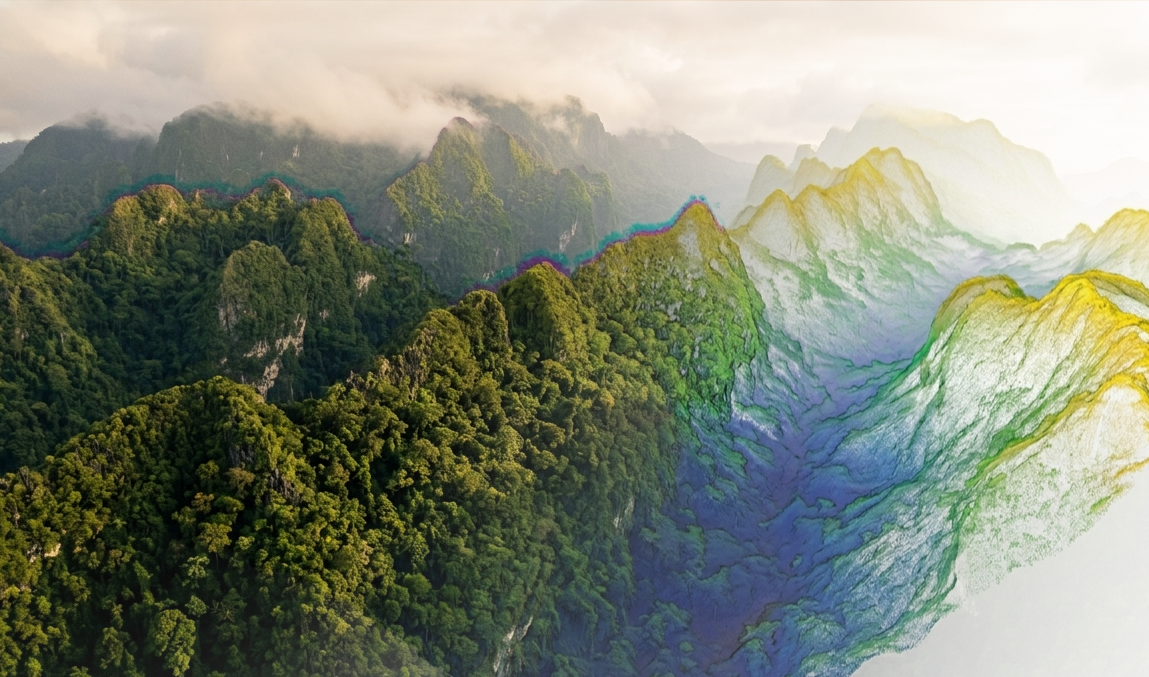
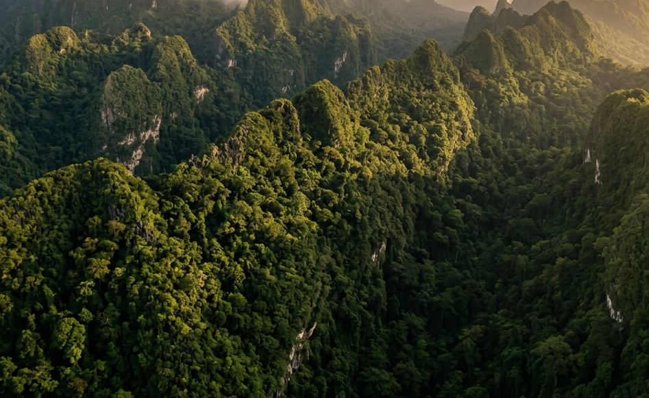
      n steep, densely forested terrain, conventional photogrammetry is blind beneath the canopy. The Skycross automatically adapts its altitude to the relief and penetrates vegetation using the YellowScan LiDAR, delivering a complete, centimeter-accurate digital terrain model.

      PLATFORM
      VTOL Skycross · LiDAR YellowScan · RTK/PPK · Terrain Following
      Centimeter-level accuracy beneath dense tropical forest
      100% bare earth mapped through the canopy
      Local teams autonomous after on-site training

      Operational Context

      The client in the Philippines needed to complete a full topographic survey of an extremely rugged and densely forested area. Two obstacles made the mission unachievable with conventional methods: the tropical vegetation cover blocked any reliable camera-based acquisition, and flying at low altitude through unpredictable terrain exposed any human crew to unacceptable risk. Innotech drone deployed its long-endurance VTOL platforms equipped with YellowScan LiDAR and automatic Terrain Following to deliver what no one else could produce on this site.

      Canopy Penetration

      The YellowScan LiDAR emits hundreds of thousands of laser pulses per second. Unlike a camera, the laser passes through gaps in the vegetation and reaches the bare earth, even beneath dense tropical forest. The result: a complete, seamless, centimeter-accurate digital terrain model, deliverable directly to geomatics teams with no additional processing.

      Safe Flight in Complex Terrain

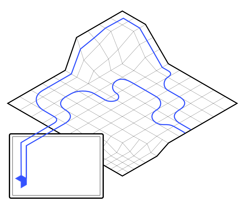
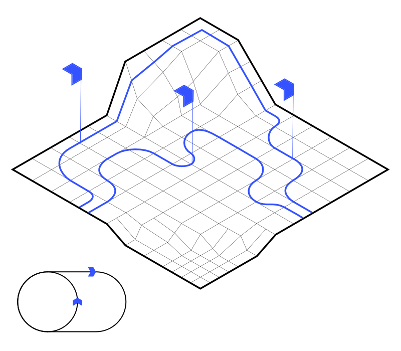
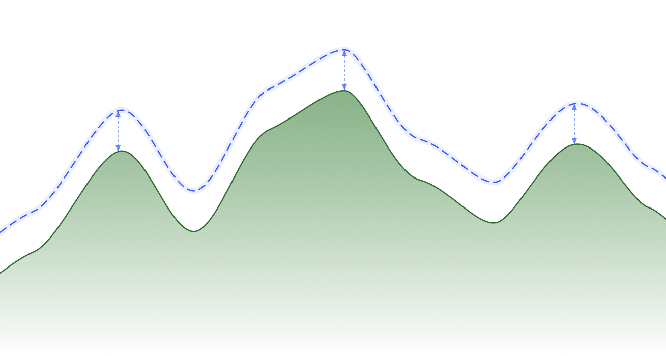
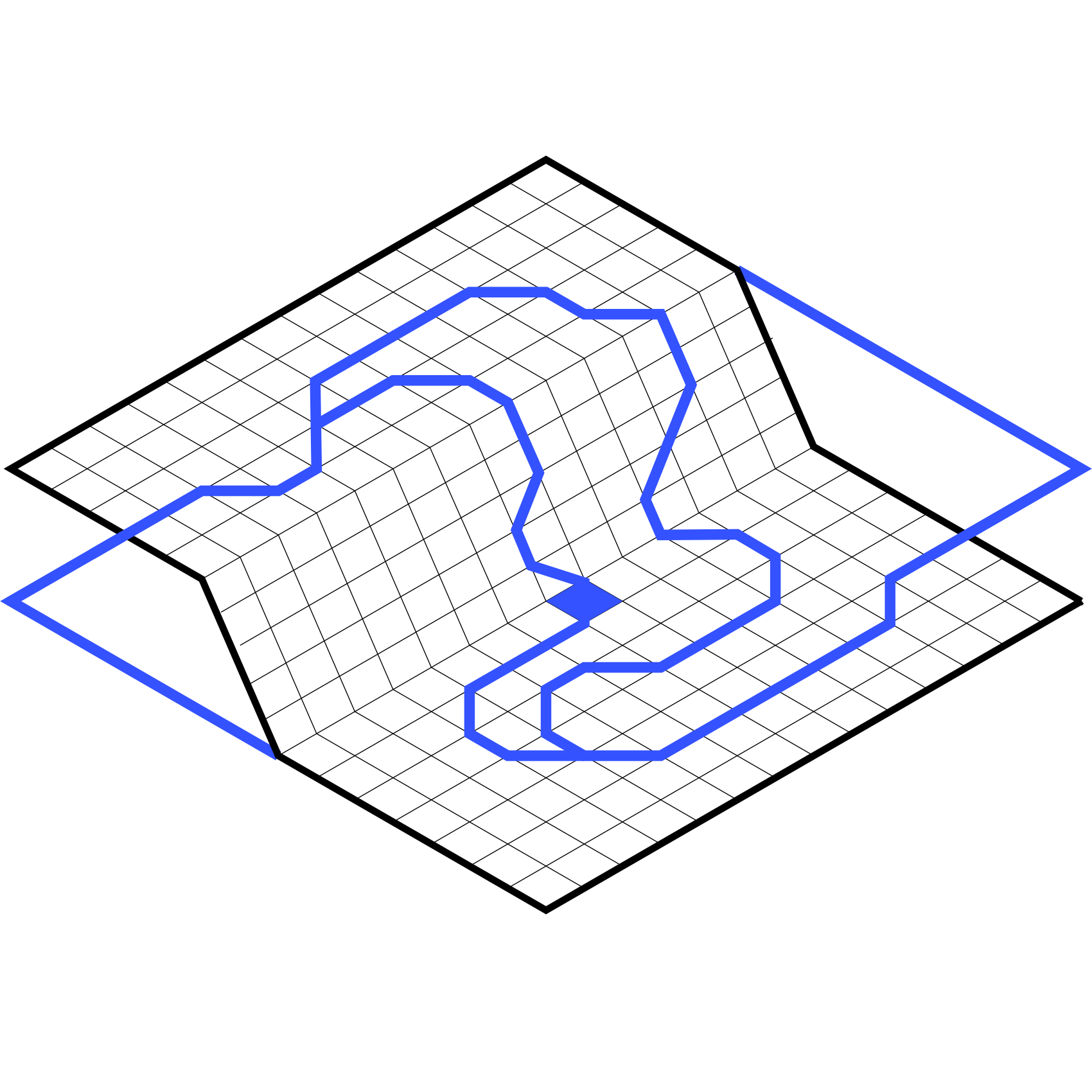
      In mountainous terrain, maintaining a constant altitude degrades data density and puts the platform at risk. Terrain Following adapts the drone’s altitude to the relief in real time, ensuring consistent acquisition across the entire flight path. The integrated RTK/PPK positioning eliminates virtually all ground control points: surveyors no longer need to access dangerous areas to place GCPs (ground control points).

      Economic Impact

      An equivalent mission by manned helicopter in mountainous terrain costs several times the price of a VTOL mission, when it is technically feasible at all. Eliminating GCPs significantly reduces field days and associated costs. Local teams trained on-site run subsequent missions in-house: the return on investment improves with every flight.

      Centimeter-level accuracy.
      Terrain under control.
      The ground is mapped.

      Cartography

      Our partners

      Innotech Drone

      Geomatic

      Innotech Drone

      Surveillance

      Innotech Drone

      Transport