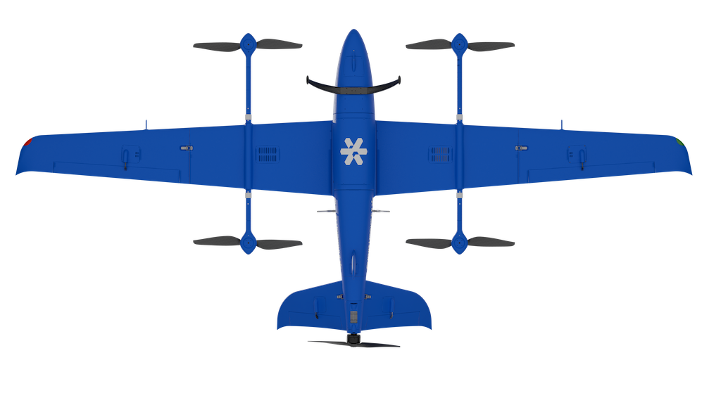
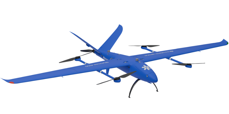
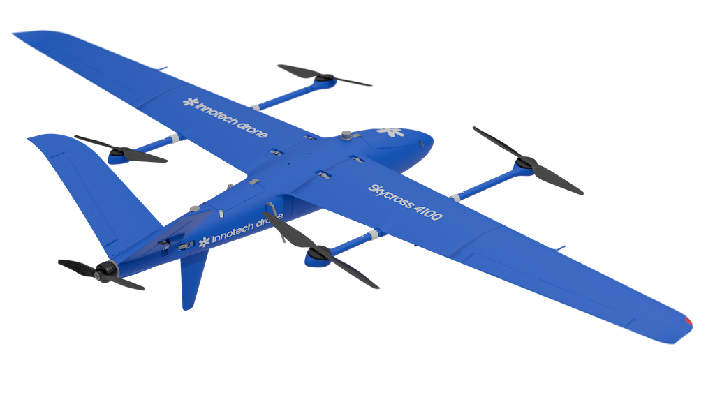
Skycross 4100
Designed to compete with light aviation at a lower cost.
Capable of carrying payloads up to 8 kg while offering long endurance and travel range.
Designed to compete with light aviation at a lower cost.
Capable of carrying payloads up to 8 kg while offering long endurance and travel range.

415 (L) x 195 (W) x 75 (H) cm
158 (L) x 65 (W) x 77 (H) cm
35 kg
8 kg (validated flight up to 10 kg)
2.4GHz – 5GHz: up to 20 km
Up to 100 km with video feedback
French-made anti-jamming system (Simpulse, optional)
3G / 4G / 5G
AES 128/256 encryption
Satellite Constellations: GPS, BDS, GALILEO, GLONASSFrequencies:
GPS-L1C/A, GPS-L2C
GLONASS-L10F, GLONASS-L2OF
GALILEO-E1B/C, GALILEO-E5b
BDS-B1I, BDS-B2I
QZSS-L1C/A, QZSS-L2C
Protection against signal interference and spoofing
24 to 29 m/s (86 to 104 km/h)
38 m/s (140 km/h)
Up to 15 m/s (54 km/h)
Up to 260 minutes
4000 m
-10°C to +50°C
Composite / Carbon Fibre
Under 3 minutes
2 x Pitot tubes (airspeed)
3 x Compasses
2 x GNSS GPS units
Integrated
Dust-protected
Protected against water sprayed up to 60° from vertical
Fully autonomous
French-made
With independent GPS and barometer
Enables remote ID, collision avoidance, environment perception
Compatible with manned aviation (transmitter and receiver)
For take-off/landing visualisation and full airspace awareness during flight
4G subscription at customer’s expense
One radio at Point A, another at Point B
Real-time transmission to multiple remote sites possible
Up to 200 km
Sony, Topodrone, PhaseOne
α7R IV 61MP, ILX-LR1 62.5MP
Topodrone P61 61MP
Share UAV 102S / 202S / 303S
Topodrone P61 Multispectral
MicaSense RedEdge-P
Viewpro, Octopus, Flir, Trakka, Merio
NextVision Raptor, Raven, Condor
Parachute drop or automated landing
YellowScan Surveyor Ultra / Explorer / Voyager / Navigator
448.04 (L) x 279.99 (W) x 251.54 (H) mm
402.49 (L) x 242.97 (W) x 182.60 (H) mm
27 Litres
Quick swap system
From the top or side hatch
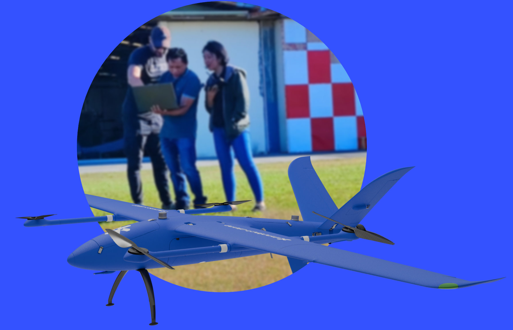
Innotech-drone trains you in the use of drones and their sensors, from commissioning to processing and standardising the data collected. We accompany you in the field to guide you during your first mission.
© 2026 innotech-drone.com. All Rights Reserved.